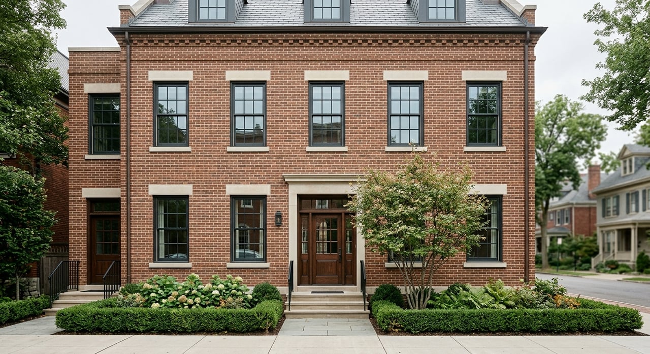
Thinking about adding height, converting a building, or assembling lots in Bethesda? The single number that can make or break your plan is FAR. It shapes how much you can build, what it might cost, and whether your design will fly in approvals. In this guide, you’ll learn what Floor Area Ratio means in plain English, how it works in Montgomery County, and how to run quick math to test your site. Let’s dive in.
FAR basics you can use
Floor Area Ratio is a zoning tool that ties total building area to lot size. The math is simple: FAR = Total gross floor area ÷ Lot area. Flip it around to get your maximum building area: Allowable area = FAR × Lot area.
“Gross floor area” is a zoning definition. It is not the same as saleable or rentable area. Local rules spell out what counts inside the number and what does not. In practice, FAR sets the overall size of a building on a site. It does not directly set height or number of stories, but it works with height limits, setbacks, open space, and parking to shape the final massing.
Try these illustrative examples:
- Example A: A 5,000 square foot lot with FAR 2.0 allows 10,000 square feet of gross floor area. You could fit two floors at 5,000 square feet each, or four floors at 2,500 square feet each, subject to other rules.
- Example B: A 10,000 square foot lot with FAR 6.0 allows 60,000 square feet of gross floor area.
Always remember that FAR gives a theoretical maximum. Height caps, stepbacks, lot coverage, and parking can cut that number down.
How FAR works in Bethesda
Bethesda properties follow Montgomery County’s zoning ordinance and local sector plan guidance for downtown Bethesda. Your parcel’s zoning classification sets the permitted uses and the core development standards that include FAR or other density controls. In the downtown core, sector plan guidance and zoning often add block-specific expectations for height, density, and public benefits.
Central commercial and mixed-use blocks typically allow higher density than the surrounding residential neighborhoods. Even within the core, allowances can change from block to block. Prior site-plan approvals can also apply parcel-specific conditions. The takeaway is simple. Verify your zoning, then check the plan and any recorded approvals before you rely on a single FAR number.
What FAR does and does not control
FAR governs total building area. It does not guarantee a specific height. Height limits and stepbacks shape how tall you can go. Setbacks, open-space minimums, and lot coverage standards shape your floorplate size. Parking rules influence basement depth and where stalls sit on the site.
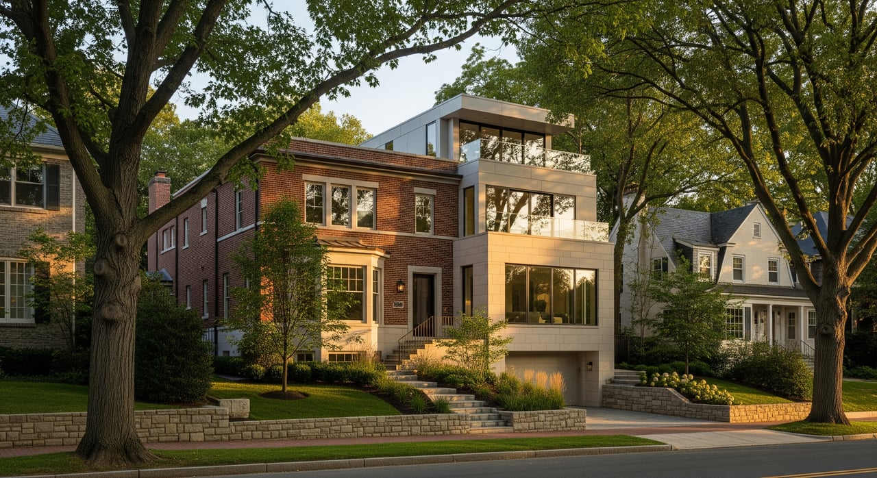
The same FAR can look very different on different sites. A narrow lot often leads to a taller, slimmer building with smaller floorplates. A wider lot can distribute the same FAR into fewer floors with larger plates. Those choices affect structure type, unit layouts, and cost.
Exclusions and bonuses that change the math
Local code defines what counts in “gross floor area.” Many jurisdictions, including Montgomery County, exclude some below-grade space, certain vehicle parking areas, and some mechanical or rooftop penthouse area. You need to read the definitions to see what qualifies on your site.
In higher-density zones, Montgomery County often uses an optional method and site-plan process that ties density and massing to design quality and public benefits. Programs can offer additional square footage for things like public open space or affordable housing. Moderately Priced Dwelling Units (MPDUs) also come with requirements and may enable incentives. The amount and how it is counted depend on your zone and the specific program.
Illustrative examples:
- Exclusion impact: On a 10,000 square foot lot with FAR 4.0 you get 40,000 square feet of gross floor area. If below-grade parking is excluded, two levels at 10,000 square feet each might not count against FAR. That can improve the site plan, but deeper excavation raises cost.
- Bonus concept: If a program adds a 10 percent density bonus for a public benefit, 40,000 square feet becomes 44,000 square feet. MPDU incentives can add more, depending on the rules in place for your zone.
Step-by-step: run your Bethesda FAR
- Confirm your parcel’s rules
- Identify your zoning on the county zoning map or parcel viewer. Retrieve the matching Chapter 59 standards. If the site sits in the Bethesda Downtown Sector Plan area, read the plan text for any block-level direction. Consider a zoning verification letter for certainty.
- Read the definitions
- Look up “gross floor area,” “floor area ratio,” and the listed exclusions for basements, parking, mechanical space, penthouses, and balconies. These change your conversion from allowed FAR to usable saleable area.
- Calculate the theoretical maximum
- Use Allowable area = FAR × Lot area. Run a few options at realistic lot sizes to understand scale.
- Layer on other limits
- Apply height limits, stepbacks, setbacks, open-space minimums, lot coverage, and parking rules. Sketch massing to see how the same FAR could produce a taller slender stack or a shorter wider building.
- Check bonuses and exclusions
- Identify MPDU requirements or incentive programs and any other public benefits that add density. Confirm permitted exclusions. Quantify how much area each incentive or exclusion changes.
- Evaluate site constraints and costs
- Consider geotechnical limits for basement depth, stormwater management, and party-wall conditions. Deeper basements can unlock exclusions for parking but increase cost. Compare the revenue from extra FAR to the added construction and entitlement cost.
- Engage your team early
- Speak with a zoning attorney or land-use planner about strategy. Have an architect test massing and unit mix. Bring in civil and geotech experts for earthwork and utilities. Confirm interpretations with a county planner. Early clarity saves time and money.
Quick scenarios to test
Use these as illustrative starting points. Always plug in your parcel’s values from county resources.
- Basic calc: A 10,000 square foot lot with FAR 4.0 allows 40,000 square feet of gross floor area. That could be 8 stories at 5,000 square feet each or 5 stories at 8,000 square feet, subject to height and setbacks.
- Small-lot tower: A narrow 5,000 square foot lot in a mixed-use zone with FAR 6.0 allows 30,000 square feet. If height is capped at 120 feet with stepbacks, realistic floorplates might be near 2,500 square feet per level. Expect a taller, slimmer building and higher cost per net unit because cores and facades carry more area per unit.
- Parking below grade: On a 10,000 square foot lot with FAR 4.0, two levels of below-grade parking at 10,000 square feet each may not count toward FAR if exclusions apply. That can improve the ground floor, streetscape, and yield, but the excavation premium must pencil.
Common pitfalls to avoid
- Relying on “typical” FAR values without checking your parcel’s zoning, sector plan notes, or past site-plan conditions.
- Miscounting inclusions and exclusions that change usable area.
- Underestimating the cost of deeper basements to tuck parking below grade.
- Forgetting MPDU requirements in your pro forma when you model density and revenue.
What FAR means for value
FAR is a key driver of potential revenue because it sets the upper bound on gross building area. But it is not the only lever. Height caps, setbacks, stepbacks, and open-space rules can force smaller floorplates or push you taller, which affects structure type and cost. Parking strategy also matters. If stalls go below grade, you may improve design and FAR efficiency, but you will likely add excavation and waterproofing costs.
Your goal is to match the allowed FAR with a massing that the code supports and the market rewards. A slender tower can carry higher cost per square foot than a lower, wider form because cores and facade area rise relative to net sellable area. Bonus FAR from public benefits can be powerful if the market value of the extra area exceeds the cost of delivering the benefit. Running side-by-side massing and cost tests is the fastest way to see which path wins.
Next moves for Bethesda owners and small developers
- Gather parcel data: zoning designation, lot area, overlays, and any recorded site-plan approvals.
- Do the simple math: calculate base allowable area and test basic massing options against height and setbacks.
- Map incentives: MPDU requirements, potential bonuses, and permitted exclusions that change effective area.
- Build a team: planner or zoning attorney, architect, civil and geotech, and a county planner contact for clarifications.
If you want a partner who can run the feasibility, navigate entitlements, and then bring the finished product to market, reach out to Shane Crowley. Unlock your property’s highest and best use.
FAQs
What is FAR and how do I calculate it?
- FAR is a zoning ratio that ties total gross floor area to lot size. Divide total gross floor area by lot area, or multiply FAR by lot area to get the maximum allowed building area.
How does FAR relate to building height in Bethesda?
- FAR sets total area while height limits cap how tall you can build. Stepbacks, setbacks, and open-space rules further shape massing, so the same FAR can result in different heights depending on your lot and zone.
Where do I find my parcel’s FAR in Montgomery County?
- Check your parcel’s zoning on the county map, then read the Chapter 59 standards and the Bethesda Downtown Sector Plan if you are in the plan area. Also review any past site-plan approvals for parcel-specific conditions.
Do basements or parking count toward FAR in Montgomery County?
- Many jurisdictions, including Montgomery County, exclude some below-grade space, certain vehicle parking areas, and some mechanical or rooftop penthouse area. You need to confirm what qualifies under the current code definitions.
Can I earn more FAR with public benefits or MPDUs?
- Incentive programs can add density for delivering public benefits such as open space or affordable housing. MPDU requirements and incentives vary by zone and program, so confirm the specifics for your site.
What approvals affect FAR timing and design in Bethesda?
- Typical steps include zoning verification, optional sketch or concept review, formal site plan or project plan under the optional method, public hearings if required, and then building permits. The site-plan stage is where bonuses and conditions are finalized.